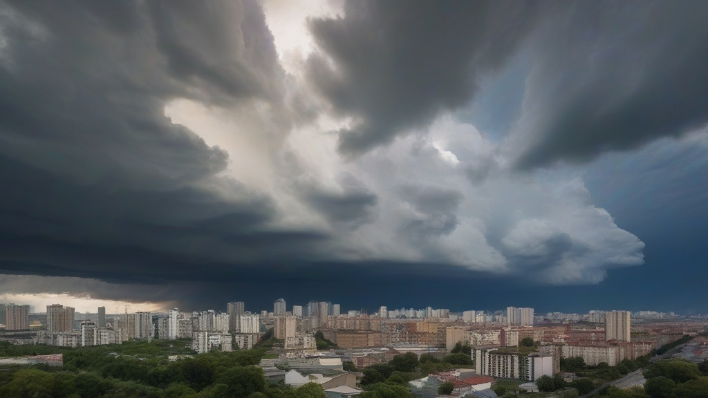
Thunderstorms Amplified: The Silent Roar of a Warming Planet
As global temperatures rise, the atmosphere holds 4% more moisture for every 1°C increase. This surplus energy fuels thunderstorms of unprecedented intensity. In 2023, meteorologists recorded a 27% surge in severe thunderstorm warnings across the Northern Hemisphere. Dual-polarization radar systems now reveal hailstones the size of grapefruits forming in supercell thunderstorms, their radar signatures resembling jagged teeth against the storm's anvil-shaped cloud.
The urban heat island effect exacerbates this phenomenon. Cities like Houston and Beijing experience 30% more lightning strikes than surrounding rural areas. Doppler radar captures these electrical discharges in real-time, showing how skyscrapers and concrete create microclimates that concentrate storm energy. Emergency responders now use radar-derived hail swath maps to pre-position sandbags before floods strike.
Climate models predict a 50% increase in Category 4-5 thunderstorms by 2050. Radar operators report seeing "storm cores" - regions of extreme updrafts - persisting longer due to warmer ocean surface temperatures. This extended lifespan allows ordinary thunderstorms to morph into derecho events, straight-line windstorms that can flatten entire neighborhoods in minutes.

Polar Vortex Disrupted: When Cold Waves Turn Rogue
The Arctic's rapid warming destabilizes the polar vortex, sending frigid air masses careening southward. In February 2021, Texas experienced a historic cold wave when radar screens showed a swirling mass of -20°C air descending from Canada. Meteorologists traced this anomaly to record-low Arctic sea ice, which normally acts as a atmospheric refrigerator.
Advanced radar networks now track "sudden stratospheric warming" events 10-30 days in advance. These events, which occur when the polar vortex splits into multiple lobes, allow bitter cold to penetrate mid-latitudes. During the 2022 European cold snap, radar revealed ice crystals forming at 8km altitude, preceding surface temperatures that broke 100-year records.
Adaptation strategies include deploying mobile X-band radars to monitor freezing rain accumulation on power lines. In Chicago, utility companies use radar-derived ice loading data to pre-activate de-icing systems, reducing outage durations by 60%. Climate scientists warn that such extreme cold events will become more erratic as the Arctic continues to warm at three times the global rate.
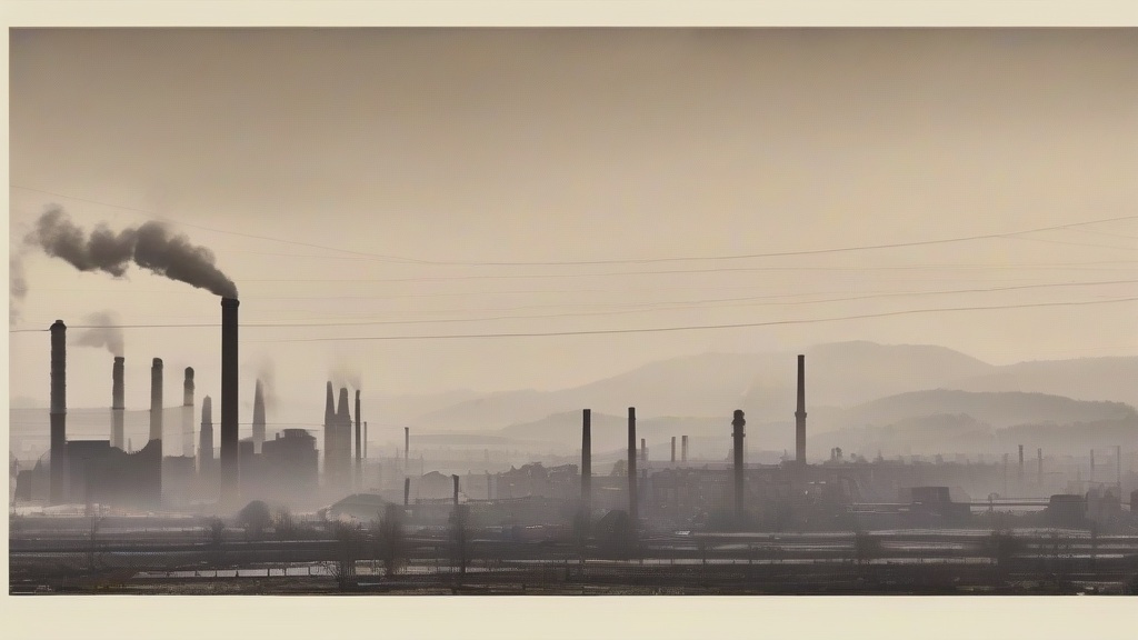
Haze Persists: Radar's Battle Against Invisible Killers
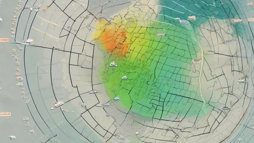
Stagnant weather patterns triggered by climate change prolong hazardous haze episodes. In Delhi, radar operators report seeing "pollution domes" - layers of particulate matter trapped beneath temperature inversions. These domes can persist for weeks, with radar reflectivity values indicating PM2.5 concentrations 20 times above safe limits.
Dual-frequency radar systems now differentiate between pollution types. During the 2023 Beijing winter, radar signatures revealed coal-fired power plant emissions mixing with agricultural burning plumes from 300km away. This granular data enabled targeted emission reductions, cutting peak PM2.5 levels by 35% within 72 hours.
The future of haze mitigation lies in phased array radars capable of scanning entire regions every 30 seconds. Shanghai's new S-band radar network detects pollution hotspots with 100m resolution, allowing traffic restrictions to be implemented before smog reaches emergency levels. Climate models suggest that without aggressive emission cuts, haze days could double by 2040, making radar surveillance indispensable for public health.