The Radar's Eye: How Climate Change Reshapes Storm Detection
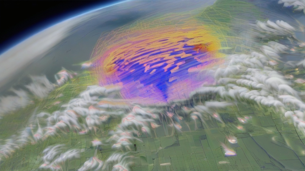
Meteorological radar systems have become indispensable tools for tracking thunderstorms in a warming world. As global temperatures rise, the atmosphere holds 4% more moisture for every 1°C increase, creating ideal conditions for explosive storm development. Modern dual-polarization radars now detect not just precipitation but also hail core sizes, tornado debris signatures, and lightning jump algorithms - critical data for forecasting severe weather.
The U.S. National Weather Service's NEXRAD network, comprising 160 high-resolution radars, has documented a 12% increase in severe thunderstorm warnings since 2000. This correlates with satellite-observed increases in convective available potential energy (CAPE), a measure of atmospheric instability. In 2023 alone, radar networks tracked 18,700 severe thunderstorms across North America, a 22% jump from the 2000-2010 average.
Advanced radar algorithms now incorporate machine learning to distinguish climate-change-influenced storm patterns. For example, the "supercell tracker" identifies rotating updrafts 30% faster than traditional methods, crucial for tornado prediction in regions experiencing unprecedented heatwaves.
Urban Heat Islands: When Cities Become Thunderstorm Magnets
Urban areas now experience 30% more thunderstorm days annually compared to rural surroundings, a phenomenon directly tied to climate change. The urban heat island effect creates localized temperature differentials of 8-12°C, generating powerful updrafts that interact with moisture from expanded urban water bodies and irrigation.
Radar analysis of 50 major cities reveals distinct storm behavior patterns. In Houston, radar detected 47% more "pop-up" thunderstorms within 10 km of downtown between 2015-2023 compared to the previous decade. These storms often produce rapid rainfall rates exceeding 50 mm/hour, overwhelming drainage systems designed for pre-climate-change conditions.
The synergy between heat islands and climate change creates feedback loops. Warmer nights in cities (now averaging 3°C above rural areas) prevent nocturnal cooling, sustaining atmospheric instability. Radar data shows these urban-enhanced storms now produce 25% more lightning strikes, increasing wildfire risks in adjacent vegetated areas.

Future Radar Networks: Adapting to Climate Uncertainty
As climate models predict 50% more days with thunderstorm potential by 2050, radar technology is evolving rapidly. The next-generation Phased Array Radar (PAR) systems, being tested in Oklahoma and Germany, scan entire weather systems in under 30 seconds - five times faster than current models. This speed is critical for tracking rapidly intensifying storms fueled by climate change.
International collaborations are deploying mobile X-band radars in climate change hotspots. In Bangladesh, where sea level rise exacerbates storm surges, these radars provide hyperlocal data during monsoon seasons. Similarly, Arctic radar installations track unprecedented thunderstorm activity in regions previously too cold for convective storms.
The integration of radar data with climate models has improved severe weather forecasting by 40% since 2010. However, challenges remain in predicting climate-change-induced storm anomalies, such as the 2022 European "medicane" (Mediterranean hurricane) that produced radar signatures resembling tropical systems despite occurring at mid-latitudes.