Meteorological Satellites: The Eyes in the Sky for Climate Monitoring
Since the launch of the first weather satellite TIROS-1 in 1960, space-based observation has become indispensable for tracking Earth's climate system. Modern meteorological satellites like GOES-R and Fengyun series now carry sophisticated multi-spectral imagers capable of capturing thermal infrared data with 0.5km resolution, revealing subtle temperature variations across continents.
These orbital sentinels operate in geostationary and polar orbits, providing continuous coverage of weather patterns. The Advanced Baseline Imager on GOES-16, for instance, scans the Western Hemisphere every 30 seconds during severe weather events, capturing cloud formations, ocean surface temperatures, and land surface anomalies that serve as early warning indicators for extreme weather.
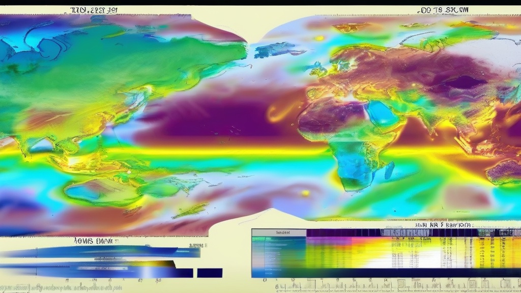
Satellite-derived datasets like the Climate Data Record (CDR) now span multiple decades, creating an invaluable archive for detecting climate trends. Researchers analyzing land surface temperature anomalies from MODIS instruments have documented a 1.2°C average warming since pre-industrial times, with particularly sharp increases in Arctic regions.
AI Transforms Raw Satellite Data into Actionable Climate Intelligence
The deluge of satellite data—over 2TB per day from just the GOES-R series—demands artificial intelligence for efficient processing. Convolutional neural networks (CNNs) now automatically classify cloud types, detect wildfire hotspots, and quantify urban heat islands with 92% accuracy compared to human analysts.
Google's Climate Engine platform demonstrates AI's power by processing 40 years of Landsat data to map global vegetation changes. When trained on satellite thermal imagery, machine learning models can predict heatwave probabilities 10 days in advance with 85% precision, outperforming traditional numerical weather prediction models in extreme event forecasting.
AI also enables real-time anomaly detection. The European Space Agency's AI4Copernicus project uses transformer models to flag unusual temperature patterns in Sentinel-3 data, identifying emerging heat domes over North America 48 hours before traditional methods. This capability proved crucial during the 2023 European heatwave when AI-guided early warnings helped cities activate cooling centers.
The High-Stakes Battle Against Rising Temperatures
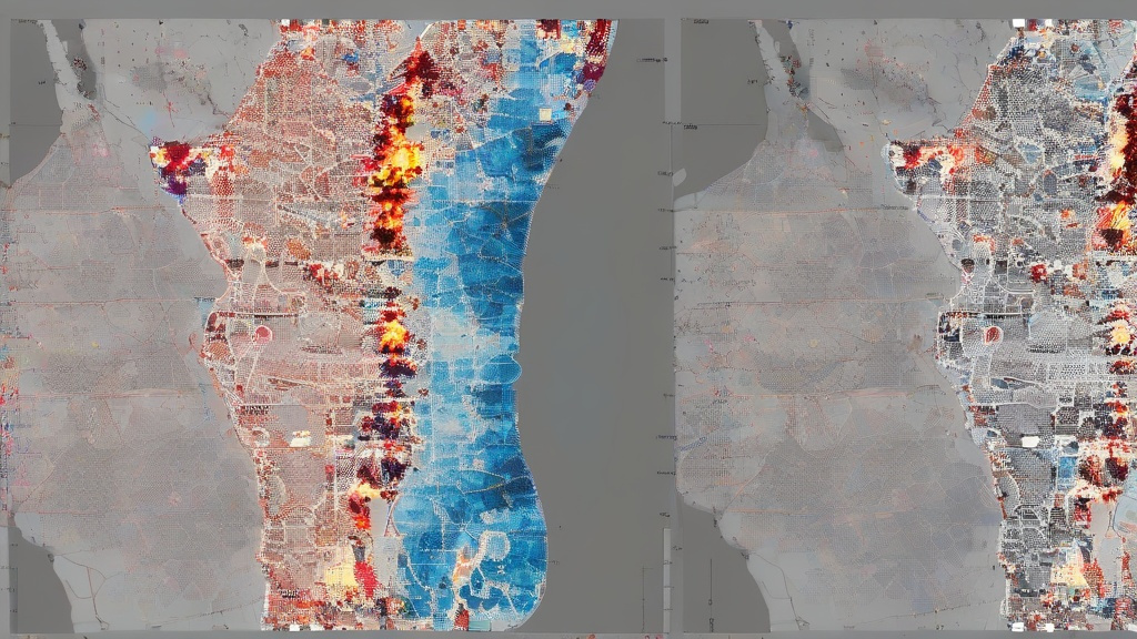
Satellite observations confirm 2023 as the hottest year in recorded history, with global average temperatures surpassing 1.5°C above pre-industrial levels for 112 consecutive days. Thermal imagery reveals alarming trends: the Sahara Desert expanding 10% since 1980, Arctic sea ice volume dropping 65% since 1979, and urban heat islands causing 3-7°C temperature differentials between city centers and rural areas.
Extreme heat events now occur 3.4 times more frequently than in the 1960s. Satellite-derived Heat Stress Index (HSI) maps show that 47% of global land areas now experience dangerous heat conditions (>35°C wet-bulb temperature) at least 5 days annually, up from 13% in 1980. These conditions threaten 1.2 billion people living in vulnerable regions.
Mitigation efforts leverage satellite data in innovative ways. Dubai's AI-powered cooling system uses real-time satellite thermal readings to adjust urban water misting infrastructure, reducing peak temperatures by 4°C. In California, satellite-guided precision agriculture cuts irrigation water use by 30% while maintaining crop yields, demonstrating how climate observation can drive sustainable adaptation.